UN
6 Edge Lane
£ 247,000
Description
We don't have a Description for this property.
- Bedrooms
- 3
- Bathrooms
- 0


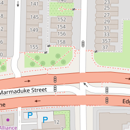
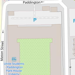
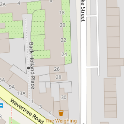

Leaflet © OpenStreetMap contributors
The heatmap indicates the level of crime in the area. The color of the heatmap indicates the crime severity and recency.
Metrics Year-on-Year
- Average area value
- 140,160.00 £Decreased by 3.95 %
- Average area rental value
- 483.00 £/moDecreased by 8.17 %
- Est rental Yield
- 4.14 %Decreased by 4.39 %
- Crime Rate
- 4.00 %Unchanged by 0.00 %
from 145,918.00 £
from 526.00 £/mo
from 4.33 %
from 4.00 %
Nearby Schools
| Name | Type | Ofsted | Distance |
|---|---|---|---|
| Marydale Lodge Sch | Secure Units | 0.35 KM | |
| St Anne'S Catholic Primary School | Voluntary Aided School | Requires improvement | 0.45 KM |
| Christian Fellowship School | Other Independent School | 0.52 KM | |
| Sacred Heart Catholic Primary School And Nursery | Voluntary Aided School | Good | 0.54 KM |
| Kensington Children'S Centre (Life Bank) | Children's Centre | 0.66 KM |
Images
Nearby Streets
| Name | Average Price | Average Sqft | Distance |
|---|---|---|---|
| Adelaide Road | £ 0 | 0 | 0.00 KM |
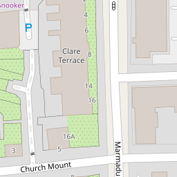
| Church Mount | £ 0 | 0 | 0.00 KM |
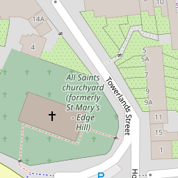
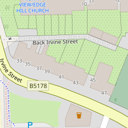
| Back Irvine Street | £ 0 | 0 | 0.00 KM |
| Paddington | £ 0 | 0 | 0.00 KM |
| Gladstone Road | £ 0 | 0 | 0.00 KM |
Nearby Transport
| Name | NLC | TLC | Distance |
|---|---|---|---|
| Edge Hill | 2169 | EDG | 1.11 KM |
| Liverpool Lime Street | 2246 | LIV | 2.46 KM |
| Liverpool Central | 2242 | LVC | 2.64 KM |
| Brunswick | 3623 | BRW | 3.49 KM |
| St Michaels | 2248 | STM | 3.51 KM |
Nearby Listings
| Address | Price | Type | Score | Distance |
|---|---|---|---|---|
| Leopold Road, Kensington, Liverpool, L7 | £ 180,000 | BUY | 6 / 10 | 0.11 KM |
| Adelaide Road, Liverpool | £ 350,000 | BUY | 5 / 10 | 0.12 KM |
| Leopold Road, Kensington, Liverpool, Merseyside | £ 305,000 | BUY | 5 / 10 | 0.13 KM |
| Lingfield Road, Broadgreen, Liverpool | £ 250,000 | BUY | 8 / 10 | 0.15 KM |
| Wavertree Road, Liverpool, L7 1PE | £ 110,000 | BUY | 6 / 10 | 0.17 KM |
Nearby Properties
| Address | Price | Distance |
|---|---|---|
| 6 Edge Lane | £ 247,000 | 0.00 KM |
| 8 Edge Lane | £ 180,000 | 0.02 KM |
| 10 Edge Lane | £ 250,000 | 0.02 KM |
| 10b Edge Lane | £ 182,500 | 0.02 KM |
| 153 Leopold Road | £ 190,000 | 0.11 KM |